[dropcap type=”circle”]W[/dropcap]irral Council is taking action to replace the brass map which was recently stolen from the viewing point at the top of Thurstaston Hill.
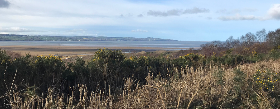
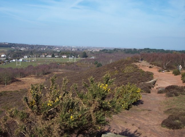
The plaque sat on a sandstone plinth at the highest point on the hill, and guided visitors to the panoramic views across the Dee to North Wales and the Mersey to Liverpool.
It was stolen in August and has not been found.
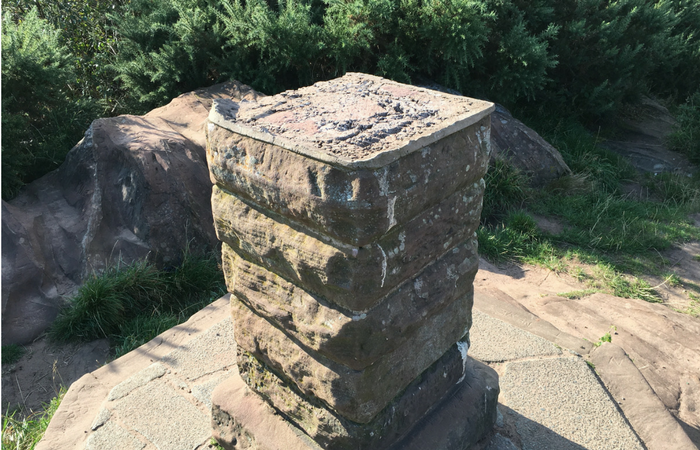
The replacement plaque will be produced using photographs of the original brass map – and that’s where local people can help.
The Council has some images which will help to produce the new plaque, but members of the public can help by sharing their photographs of the map in its former glory.
To share your photographs or stay in touch with developments on the project, contact Local Team Leader Paul Greenslade on 0151 677 7594 or paulgreenslade@wirral.gov.uk.
The Council is keen to ensure that the new plaque is in keeping with the tradition of what was there previously and that it highlights how valuable the site is to the local community and visitors.
Cllr Jeff Green, Chair of the Wirral West Constituency Committee, said: ‘This was a particularly mean crime in that the theft of this map has spoilt this much loved place for our residents and visitors alike – and I have offered the support of the Constituency Committee to help put things right.’
Anyone who has any information about the theft of the original plaque can still contact Merseyside Police by calling 101, or by calling the Crimestoppers line anonymously on 0800 555111, or ranger Paul Greenslade on 0151 677 7594.